


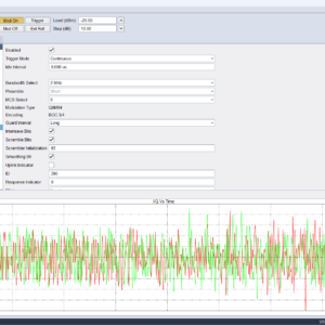
Completely re-engineered and designed to support surveyors and other RF professionals who need to characterize physical locations across a variety of performance metrics, test acquired results against established acceptance criteria, see intuitive visual feedback in real time, perform measurements automatically, and produce reports communicating results.
The Advanced Mapping Tool Kit in Spike gives users broad insight into wireless infrastructure systems. Reliable connectivity is key when it comes to public safety, outdoor surveying and network testing. The enhanced features in this software ensures users have access to critical data related to coverage strength, interference, channel occupancy and spectrum availability.
New mapping features within the licensed software include:
Compound measurements
Define a list of independent measurement configurations, each at its own frequency and focused on a different technology. Readings for all configurations are taken at each map location.
Grid testing
Overlay any size grid on the map; each cell automatically aggregates measurements taken within it and evaluates these results against defined thresholds, assigning a pass/fail status for each measurement configuration.
Test results can be included in reports and exported as CSV files.
Advanced heatmapping
Visualization that models the falloff of RF energy from the point of measurement, allowing for the creation of heatmaps that accurately reflect the physical landscape.
Report generation
Generate reports with a click that include grid test results, tabular data, heatmap visualizations, and session metadata. These can be used for documentation or submission to regulatory authorities.


Reviews
There are no reviews yet.